
Rain and Snow Continues All Week, High Wind Warning
(Coachella Valley, CA) – City News Service Reports Temperatures will continue to be below average during the day and at night, with Tuesday’s highs possible nearing record lows for the date.
Rain and snow are likely to stick around Riverside County for most of the week, according to the National Weather Service.
Showers from a Christmas storm ended Sunday morning, but another storm is bringing strong gusty winds and another round of rain Monday through early Tuesday with the most significant precipitation Monday afternoon and evening, according to the National Weather Service.
Rainfall is expected to range from 1 to 2 inches in the mountains, while amounts in the deserts will mostly be one-quarter inch or less.
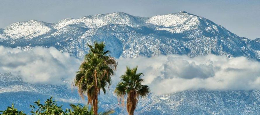
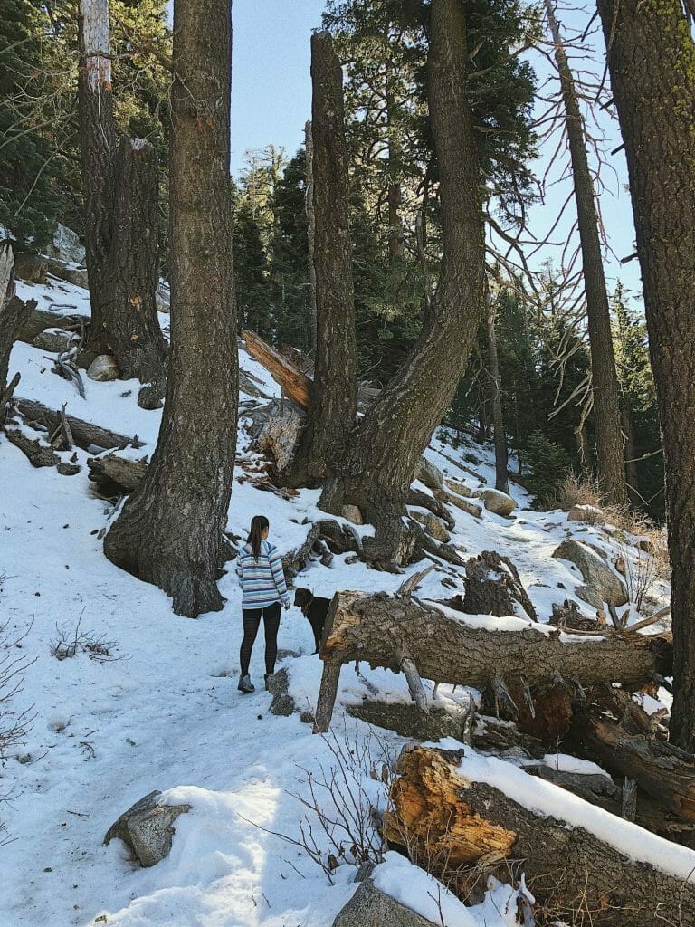
Snow levels were expected at around 4,000 feet Monday, then around 3,500 feet late Monday evening. Several inches of snowfall is possible in the mountains above 4,000 to 4,500 feet.
Forecasters were less sure about Wednesday through Friday, but speculated that one inch or more could fall Wednesday followed by diminishing chances for measurable precipitation each day going into the weekend.
Temperatures will continue to be below average during the day and at night, with Tuesday’s highs possible nearing record lows for the date.
Sunday’s highs in the mountains were in the upper 30s and 40s, with lows dropping into the 20s. That pattern was expected to hold for the next few days, with temperatures rising only slightly on Friday.
In the valleys, forecasters called for highs in the upper 40s and lower 50s, shifting into the 50s Thursday and Friday, and lows in the 30s all week.
In the Coachella Valley, highs were in the 60s Sunday but were expected to drop into the 50s and lower 60s for the rest of the week, with lows in the upper 30s and 40s.
Heavy rains developed Thursday and Friday over the Inland Empire with the arrival of a cold storm that originated from the west coast of Canada.
The rain caused some flooding and road closures in the Palm Springs area.
HIGH WIND WARNING
Apple and Lucerne Valleys-Coachella Valley-San Diego County Deserts-San Gorgonio Pass Near Banning-

Including the cities of Victorville, Hesperia, Apple Valley,
Indio, Palm Springs, Cathedral City, Palm Desert,Palm Desert Country, La Quinta, Coachella, Borrego Springs,
Banning, and Desert Hot Springs
137 PM PST Mon Dec 27 2021

...HIGH WIND WARNING REMAINS IN EFFECT UNTIL 3 AM PST TUESDAY...

* WHAT...West winds 20 to 30 mph with local gusts to 65 mph
  expected.

* WHERE...San Diego County Deserts, Apple and Lucerne Valleys,
  Coachella Valley and San Gorgonio Pass Near Banning.

* WHEN...From noon today to 3 AM PST Tuesday.

* IMPACTS...Damaging winds will blow down trees and power lines.
  Power outages are possible. Travel will be difficult,
  especially for high profile vehicles.

* ADDITIONAL DETAILS...Strongest winds will be near the
  foothills of the mountains and in the northern Coachella
  Valley below the San Gorgonio Pass.
Related Articles

23 straight days of heat in October for the Coachella Valley
23 straight days of heat in the Coachella Valley. In fact, everyday in October has seen an above average high temperature.

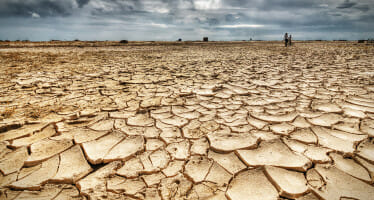
Climate Scientists See Evidence Drought Will End Next Winter
“The Blob” notwithstanding its silly name, this meteorological phenomenon could herald the impending end of California’s devestating drought, according
